
Professional Survey Services
-

Boundary survey
A boundary survey will provide you with a detailed map of your parcel(s) of land depicting the relationship between the improvements and the existing boundary lines. A careful review of the land records will be analyzed against the physical evidence present on the ground and a professional decision will be rendered. Missing boundary corners are re-set as part of this process to ensure the corners are reproducible by you and others for many years to come.
-
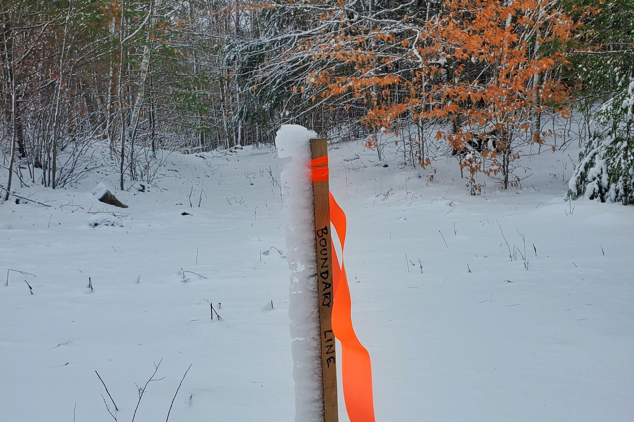
Boundary Line Staking
If you don’t have a need for a complete boundary survey and only want to verify the location of certain boundary lines in the field, whether it be for your use in acquiring a building permit, building a fence, or simply settling your curiosities, we can provide boundary line staking without developing a complete boundary survey for your records.
-

Boundary Line Adjustments
There are many reasons why a Boundary Line Adjustment survey would be necessary. Whether you and your neighbor would be better served by a different boundary, or you intend to sell a parcel but would be happier with the boundaries elsewhere first, we can walk you through the process, present your project to the local Planning Board, and mark and monument the new line once approved.
-

Subdivision
If you aim to create one or more new parcels of land in New Hampshire, your project will require municipal (and sometimes State) subdivision approval. We can walk you through the process from start to finish.
-

Elevation Certificate
You can trust you’re in good hands with a Certified Floodplain Surveyor in your corner when it comes to working with FEMA and the National Flood Insurance Program (NFIP). Whether you’re buying, selling, or refinancing, it is likely in your best interest to have an Elevation Certificate prepared if you reside in or near a floodplain.
-

Topographic Mapping
Whether you’re preparing a residential site plan, working to resolve drainage issues, or wanting to better understand the dynamics of your parcel, a detailed topographic map can be an invaluable supplement to your project.